

 Save $130
Naltar
4 days · 3 nights
Naltar Valley Alpine Escape
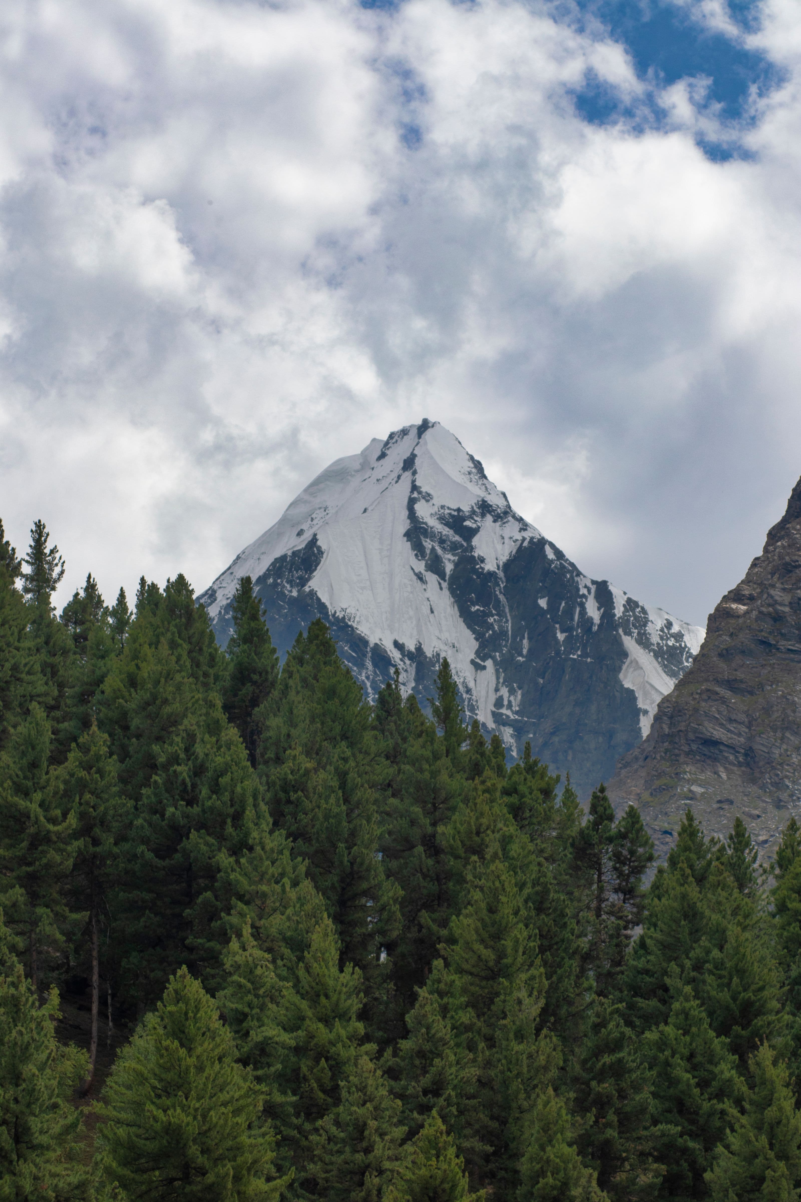
Pine forests, vivid alpine lakes and the quiet of a hidden valley near Gilgit — a short, serene escape.
from
$450$580
19 / 21 · Gilgit district
Pine forests, alpine lakes and ski slopes near Gilgit.
At a glance
Journeys through Naltar Valley
On the ground
Trek or jeep to the Bashkiri Lakes — a chain of impossibly blue-green alpine lakes set among dense pines. Lakeside picnic and photography.
A gentle day of forest walks, Naltar village, and the ski slope viewpoint. Free time to simply breathe the mountain air.
Next destination · 20 / 21
Bagrote Valley
2,500 m · Gilgit district