Save $200
Hunza
7 days · 6 nights
Hunza Luxury Explorer
A serene journey through the Hunza Valley — Attabad Lake, Passu Cones, and ancient forts with boutique stays.
from
$900$1,100
01 / 21 · Hunza–Nagar
Terraced valleys, apricot blossoms and timeless mountain culture.
At a glance
Journeys through Hunza Valley
On the ground
Explore the 700-year-old Baltit and Altit Forts, wander Karimabad bazaar, then climb to Eagle's Nest (Duikar) for a golden sunset over Rakaposhi and Ultar.
Baltit and Altit Forts, Karimabad bazaar, and a golden sunset at Duikar (Eagle's Nest).
Drive up the Karakoram Highway into Hunza, watching the blossom thicken as you climb. Check in with valley views.
Morning among the orchards of Altit and the Royal Garden, Baltit Fort above Karimabad, and sunset at Eagle's Nest (Duikar).
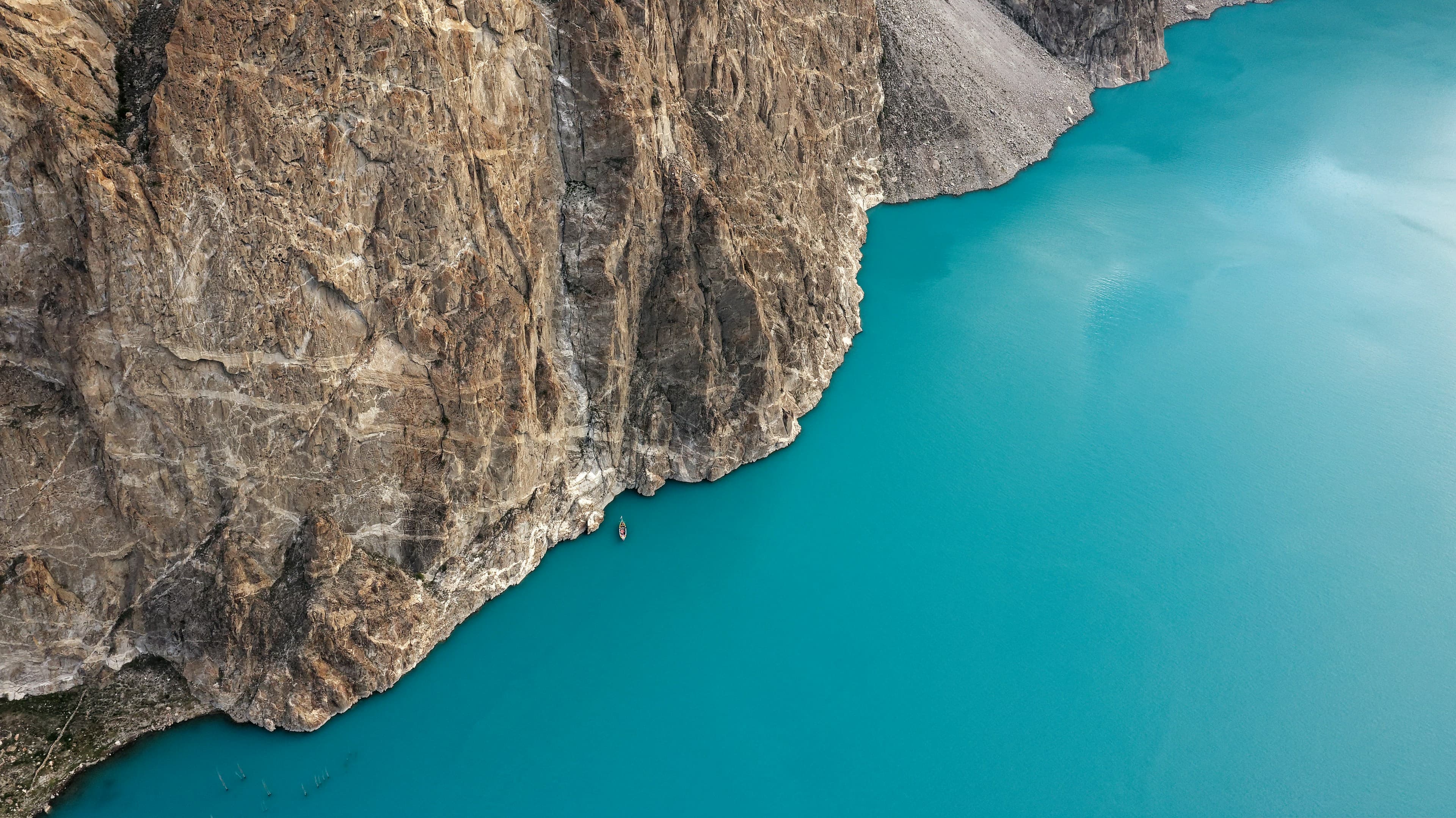
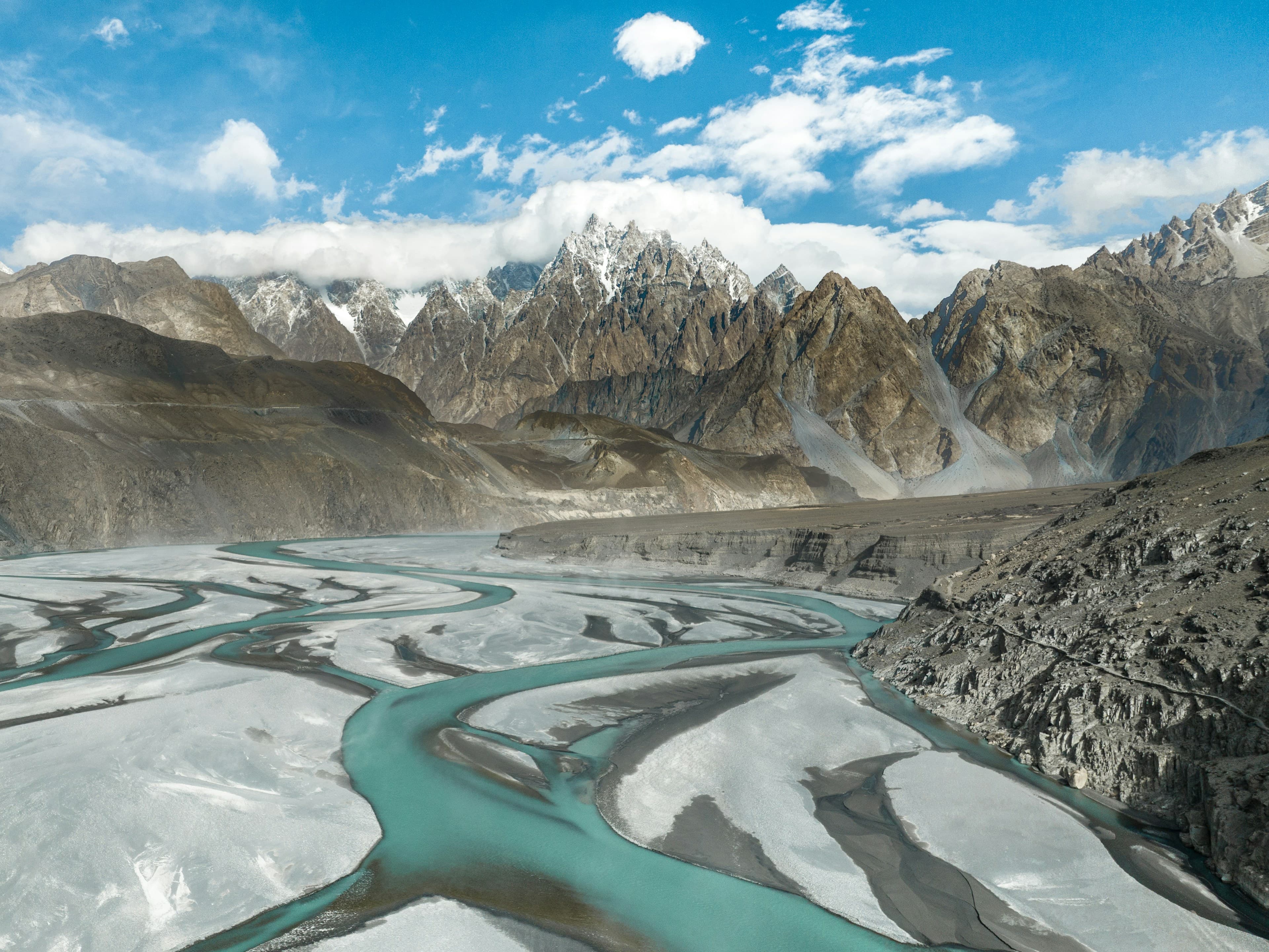
Hike up from the Attabad tunnel to Baskochi Top (about 2 hours uphill) for the view down onto Attabad Lake and up the valley to the Passu Cones. Prefer a slower day? A riverside spa, or simply the mountain silence. Farewell dinner in Karimabad.

Next destination · 02 / 21
Attabad Lake
2,400 m · Gojal, Upper Hunza