Save $200
Hunza
7 days · 6 nights
Hunza Luxury Explorer
A serene journey through the Hunza Valley — Attabad Lake, Passu Cones, and ancient forts with boutique stays.
from
$900$1,100
04 / 21 · Gojal, Upper Hunza
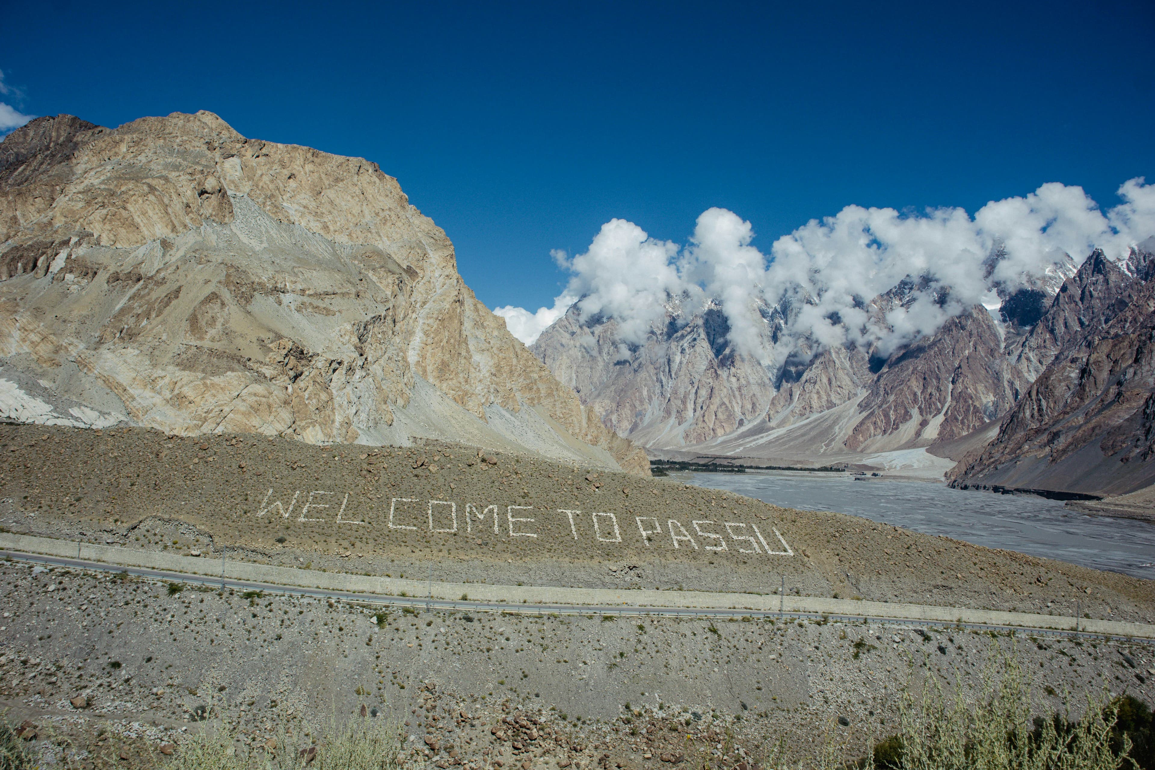
The Cathedral Spires and glacial tongues of the upper Hunza.
At a glance
Journeys through Passu
On the ground
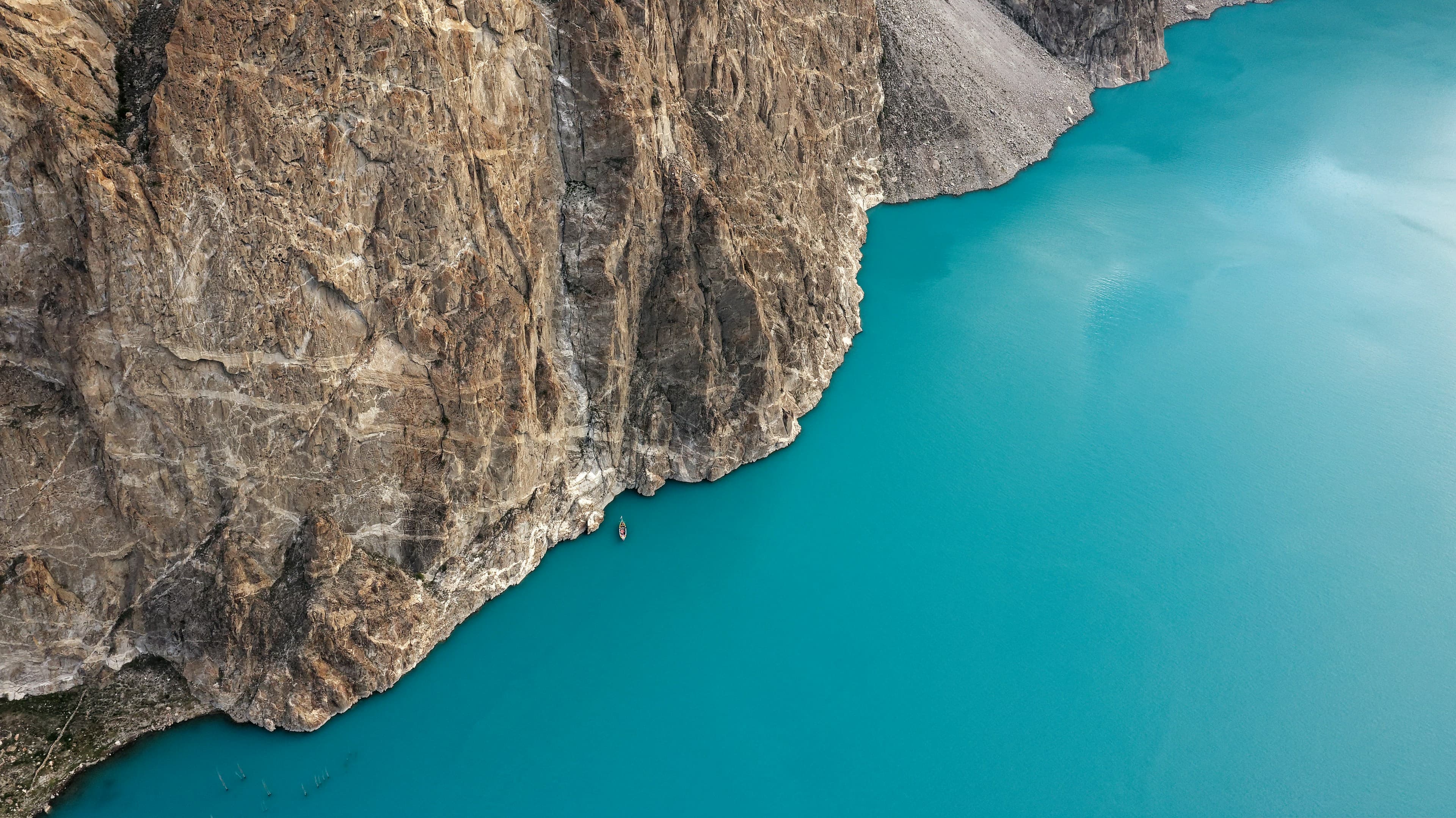
Drive the dramatic Karakoram Highway to vivid turquoise Attabad Lake for boating, cross the famed Hussaini suspension bridge, and continue to Passu.
Walk to the iconic Passu Cathedral Spires and the Batura Glacier viewpoint — one of the longest non-polar glaciers on earth. Optional hike to Borit Lake.
Boating on Attabad, the Hussaini bridge, Passu Cones and Batura Glacier, overnight in Gulmit.
Boating on vivid turquoise Attabad, the Hussaini bridge, and the iconic Passu Cathedral Spires with Batura Glacier viewpoint.
Walk to the iconic Passu Cones and the Batura Glacier viewpoint — one of the longest non-polar glaciers on earth.

Next destination · 05 / 21
Khunjerab Pass
4,693 m · Pakistan–China border