

 Save $200
Astore · Rupal · Deosai
7 days · 6 nights
Astore: Rupal Face, Domel & Deosai
Rama Meadows, the foot of Nanga Parbat's Rupal Face, the forests of Domel and Minimarg, then across the Deosai plateau to Skardu.
from
$950$1,150
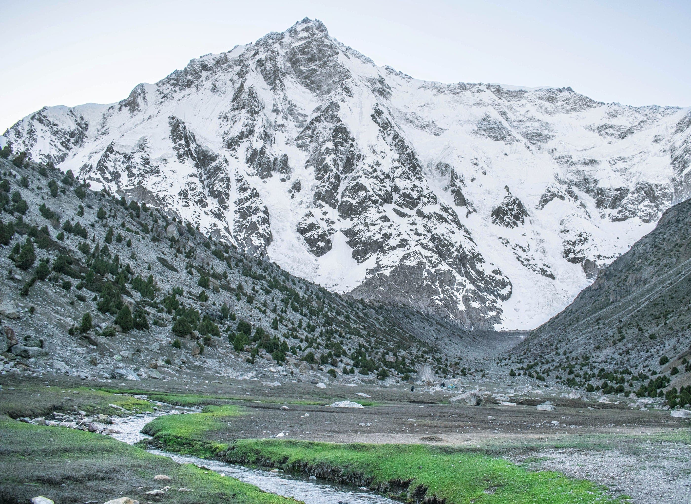
16 / 21 · Rupal valley, Astore
The south face of Nanga Parbat — some 4,600 m of rock and ice, seen from the meadows at its foot.
At a glance
Journeys through Rupal Face
On the ground
From Tarashing (about 2,900 m) cross the Tarashing glacier and walk up to Herrligkoffer Base Camp and the Latobo meadows (about 3,550 m), face to face with the Rupal wall. Back to Tarashing for the night.
An easy walk of about an hour up to Rama Lake (around 3,500 m), with the eastern ridges of Nanga Parbat above. Afternoon down the valley and on to Tarashing.
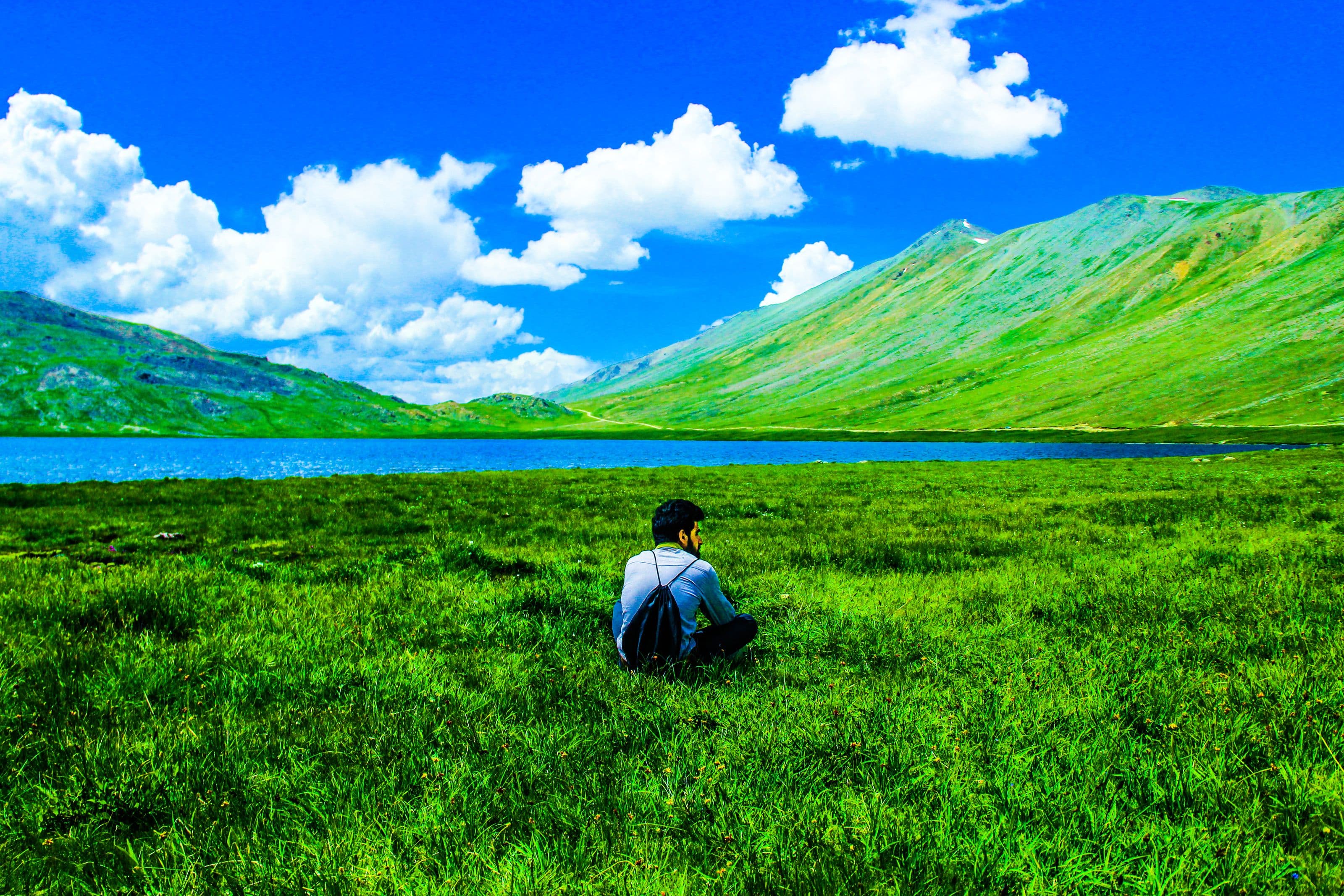
Next destination · 17 / 21
Rama Meadows
3,300 m · Astore