Skip to content
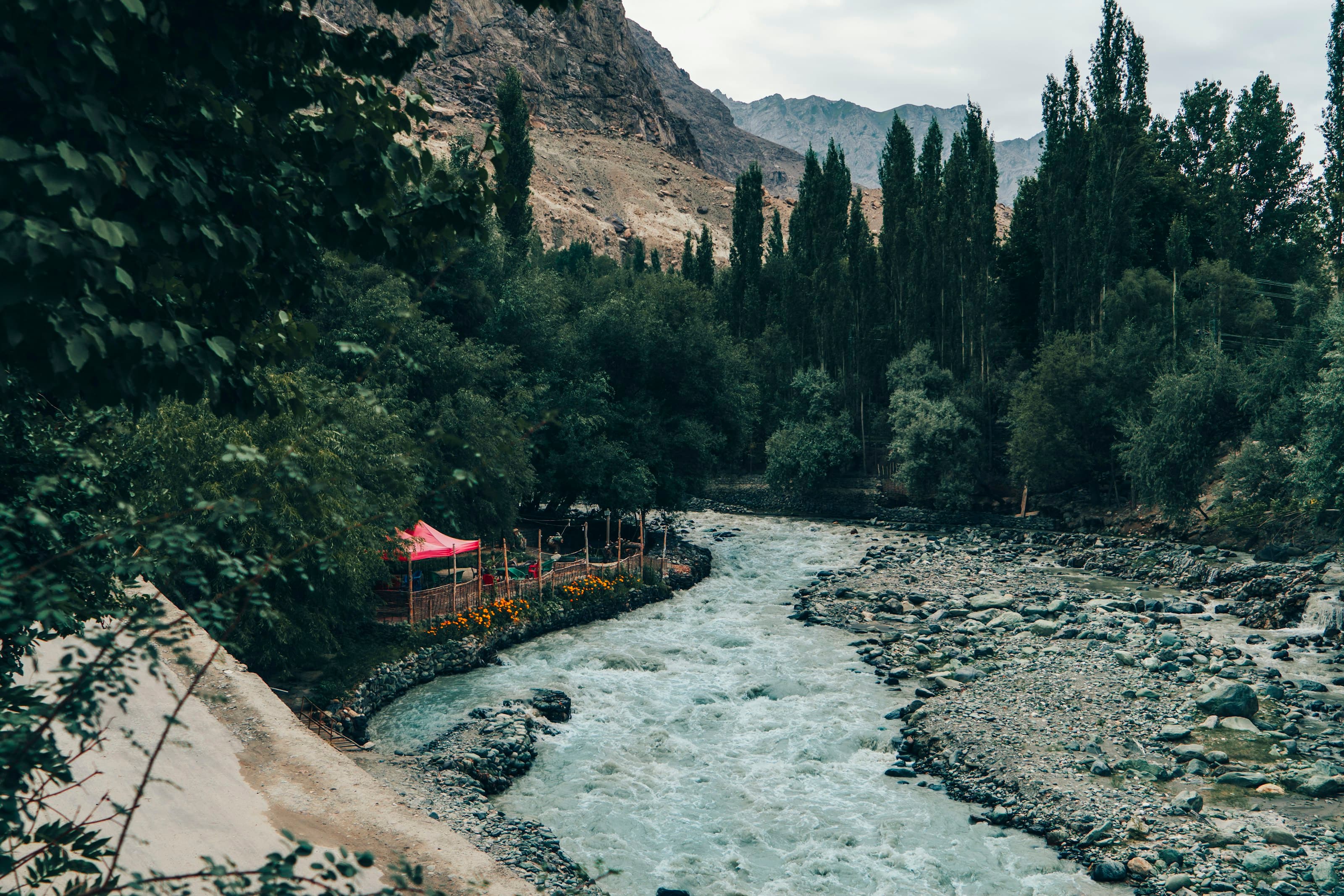
A river running between green trees in the Shigar valley

09 / 21 · Shigar valley, Baltistan

Shigar

A 17th-century fort built on a boulder, now a heritage hotel and museum.

c. 2,250 m35°25′N · 75°45′E141 km from Gilgit

At a glance

Where Shigar sits.

Altitude
c. 2,250 m
Region
Shigar valley, Baltistan
Coordinates
35°25′N · 75°45′E
From Gilgit
141 km by air
Our journeys
1
Prices from
$800 pp
73°E74°E75°E76°E35°N36°NK2Nanga ParbatRakaposhiGILGITHunza ValleyHunza ValleyAttabad LakeAttabad LakeBaskochi TopPassuPassuKhunjerab PassKhunjerab PassRush LakeRush LakeSkarduSkarduSarfaranga Cold DesertSarfaranga Cold DesertShigarShigarKhapluKhapluKharmang ValleyKharmang ValleyBilamik, RonduBilamik, RonduBasho ValleyBasho ValleyDeosai National ParkDeosai National ParkFairy MeadowsFairy MeadowsRupal FaceRupal FaceRama MeadowsMinimarg & DomelMinimarg & DomelNaltar ValleyNaltar ValleyBagrote ValleyPhander ValleyPhander Valley
Gilgit-Baltistan · schematic141 km from Gilgit, as the crow flies
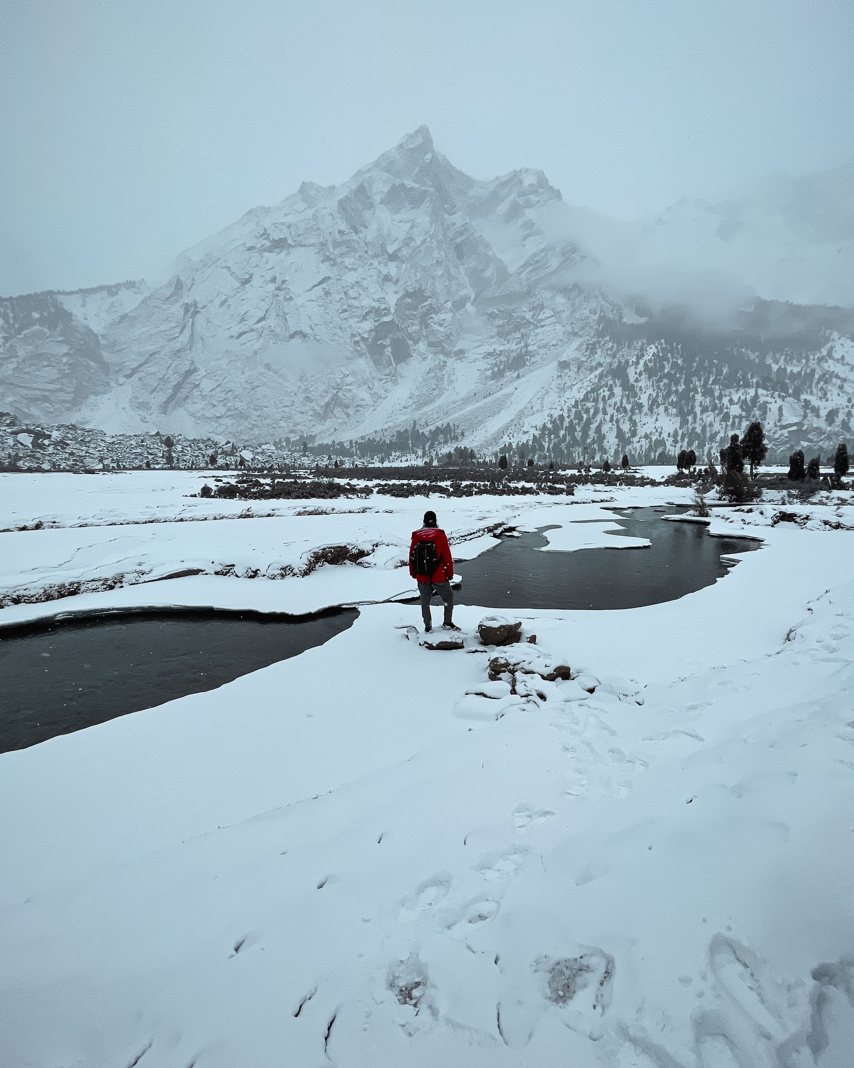
A hiker beside frozen pools below snowy mountains near Khaplu in winter

Next destination · 10 / 21

Khaplu

2,600 m · Ghanche, on the Shyok river