

 Save $150
Skardu · Kharmang · Khaplu
6 days · 5 nights
Skardu: Cold Desert, Kharmang & Royal Forts
Sunset on the cold desert, Shigar Fort, the waterfalls and villages of upper and lower Kharmang, and the 1840 palace at Khaplu.
from
$800$950
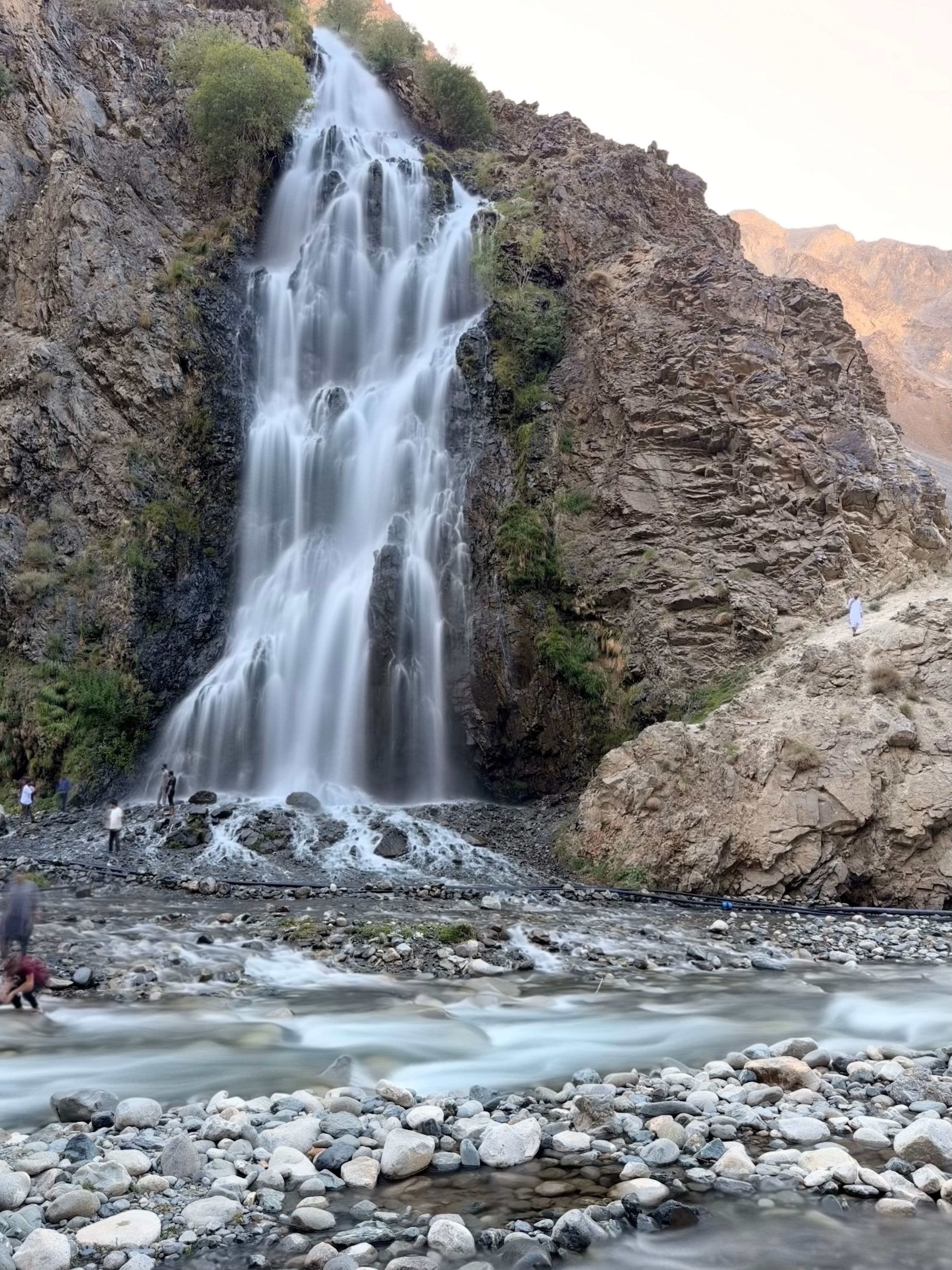
11 / 21 · East of Skardu, along the Indus
Waterfalls, trout and old forts along the Indus, up towards Olding.
At a glance
Journeys through Kharmang Valley
On the ground
About two hours east along the Indus to the Manthokha waterfall, which falls some 55 m, with trout for lunch; then on through the villages of lower Kharmang. Overnight in Kharmang.
Up the valley to Kharmang Khas and its old fort, and on towards Olding (about 2,640 m). Overnight in Kharmang.
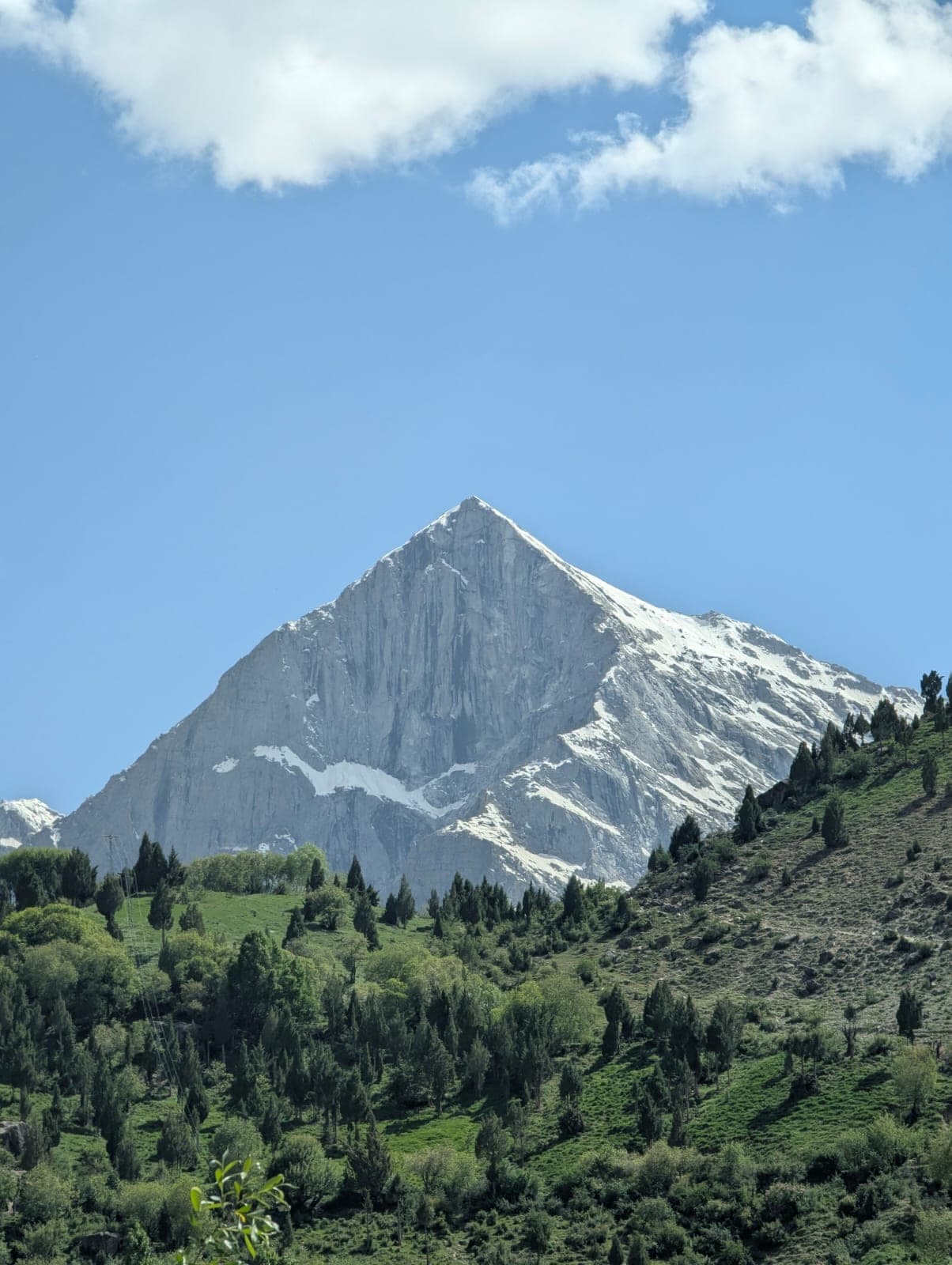
Next destination · 12 / 21
Bilamik, Rondu
c. 2,400 m · Rondu, in the Indus gorge